Turismo de Galicia

-
Things to do
Way of St. James
Nature
Culture and heritage
Beaches and coast
Tourist trails
- Top ten: Ten unrivalled destinations
- The route of the camellia
- Tourist routes
- Pathways for discovering a country
- Walks to fall in love with
- Scenery at the wheel
- EuroVelo Galicia
- Beyond the Sunset
Gastronomy
Health tourism
PROMOTIONS TO ENJOY NOW
Cultural agenda
Will happen... View all
- Places to visit
-
Plan your trip
Build your journey
Practical information


-
A miña viaxe
A MIÑA VIAXE
- Compartir
- Correo
- Imprimir

Description
The chestnut bank
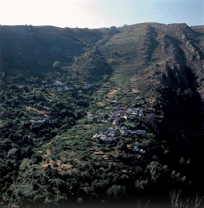
The river Navea flows into the Bibei shortly before it, in its turn, flows into the Sil, which later flows into the Miño. A whole cannon of waters which connects the Ourense Macizo Central with the biggest river system of the northwest peninsula: the Miño-Sil.
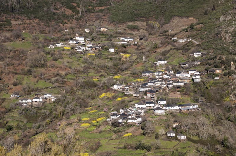
All these rivers carved natural corridors with a made-to-measure landscape. The Navea valley is the most untouched. It is outstanding for the predominance of arboreal vegetation, like the great forest of San Xoán de Río on one side of the river and one of the famous chestnut groves of the region of Trives on the other. There are historical chestnut trees and “sequeiros”, onestorey constructions used to dry the chestnuts. Some are being restored.
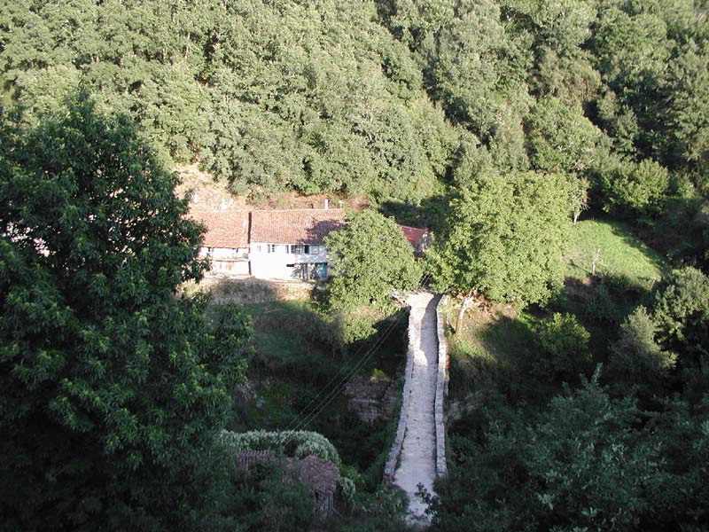
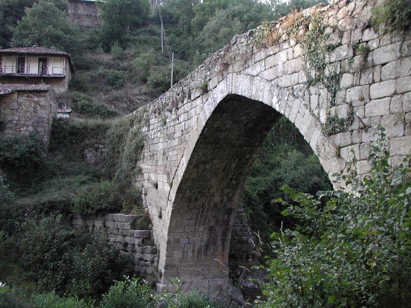
At the entrance to the protected space one of its main attractions can be found: the Navea bridge, built in the Middle Ages on the remains of the old Roman bridge.
The river Navea flows into the Bibei shortly before it, in its turn, flows into the Sil, which later flows into the Miño. A whole cannon of waters which connects the Ourense Macizo Central with the biggest river system of the northwest peninsula: the Miño-Sil.
All these rivers carved natural corridors with a made-to-measure landscape. The Navea valley is the most untouched. It is outstanding for the predominance of arboreal vegetation, like the great forest of San Xoán de Río on one side of the river and one of the famous chestnut groves of the region of Trives on the other. There are historical chestnut trees and “sequeiros”, onestorey constructions used to dry the chestnuts. Some are being restored.
At the entrance to the protected space one of its main attractions can be found: the Navea bridge, built in the Middle Ages on the remains of the old Roman bridge.
Access
On the OU-536 (Ourense-A Rúa) road
take local turnoffs in the municipality
of A Pobra de Trives.
Situation
Orense municipalities of San Xoán de
Río and A Pobra de Trives.
Area
706 hectares.
Services
Accommodation and food: Yes.
Download the coordinates for this resource...

